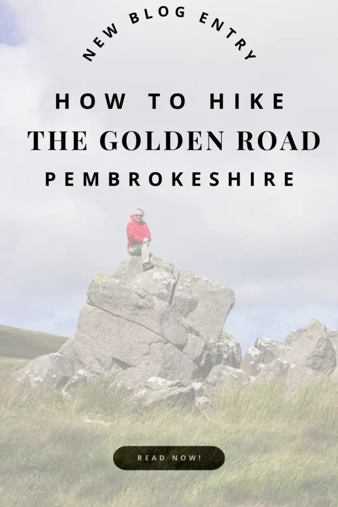
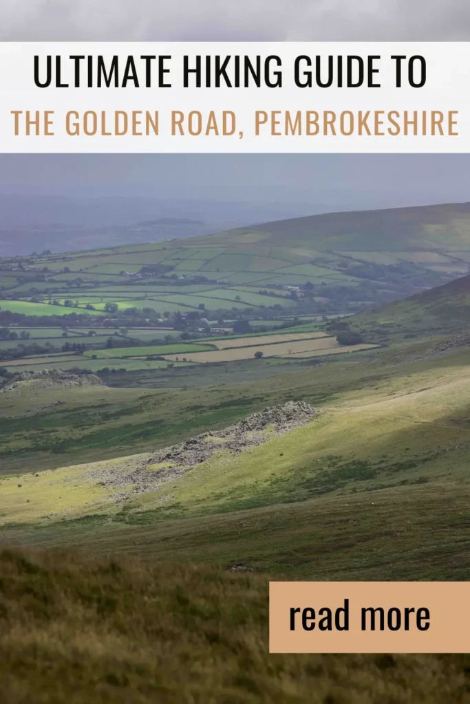
The Golden Road Walk in The Pembrokeshire National Park
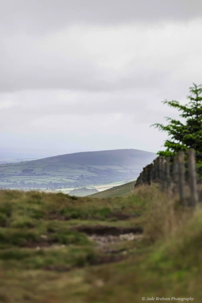
How did they do it? That’s the first thing I ask when I’ve reached the first summit of Pembrokeshire’s finest high-ground walkway. The sea glistens in the near distance, disappearing into the horizon in a way that makes me feel like I could fall off the Earth’s edge if I go too far. Ireland faintly flits into view, and the fact that I can see Ireland is significant. It’s one of the reasons I’ve come to hike in the Pembrokeshire National Park. You see, I’m embarking on The Golden Road walk, a seven-mile, super-high ridgeway running along the spine of the Preseli Hills, and it’s by far one of the best hiking trails in Wales. Read on to find out about the Golden Road route and heritage sites you’ll see along the way.
For more Wales travel inspiration, check out my guides to the Wales Coastal Path, Skomer Island Boat Trip, and my 10-Day South Wales Road Trip Itinerary.

What is The Golden Road?
The historical significance of this route is immense. Archaeological evidence suggests it dates back 5,000 years to Neolithic times, when people and animals may have walked high grounds to avoid the dense forests and treacherous terrain at lower elevations. The route is said to have also been a significant part of a trade superhighway, facilitating the transport of gold mined from the Wicklow Mountains in Ireland to Wessex.
Even more impressively, ancient civilisations utilised The Golden Road to transport valuable bluestones to Stonehenge, 180 miles away. Almost every mile, you glimpse early human activities and migration patterns, passing Bronze Age burial cairns, baffling rock formations, ancient graves, an Iron Age fortress, and a rather important quarry.
Hence, my initial question was, “How did they do it?” I can’t fathom how people with rudimentary tools and lacking education could carry out entire communities, businesses, and traditions hundreds of feet above sea level.
Hot to get to The Golden Road
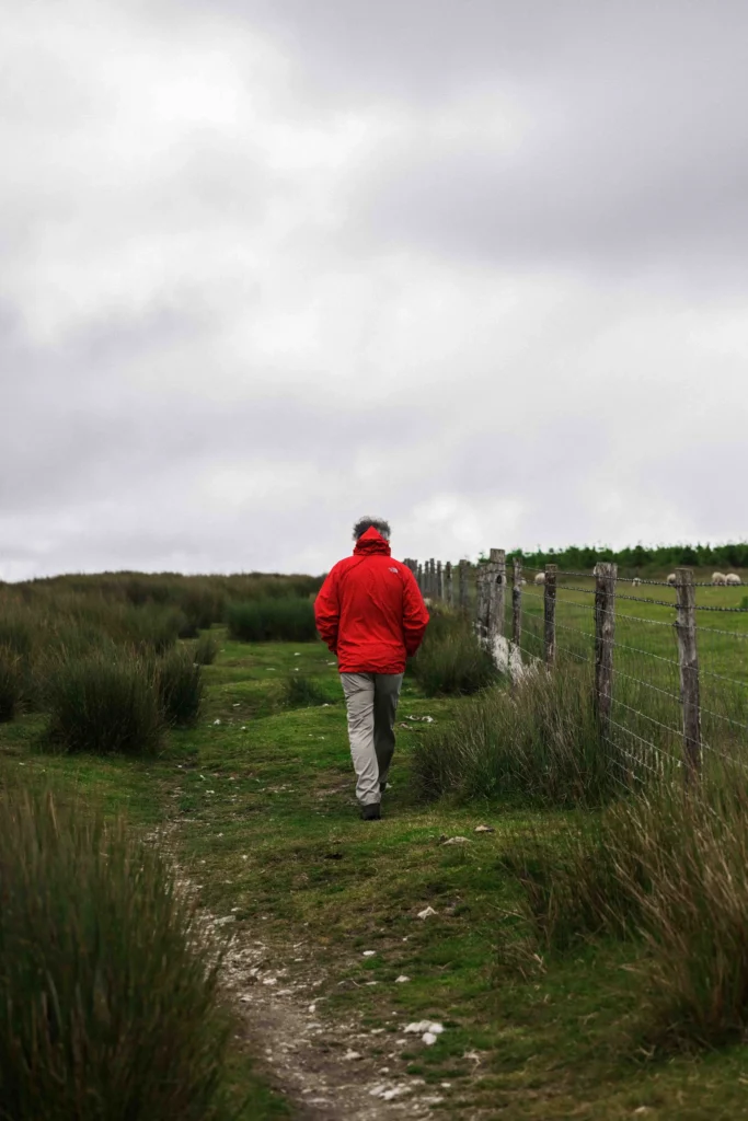
Everybody starts The Golden Road walk from the same car park opposite Foel Eryr. This is at Bwlch Gwynt, between Tafarn y Bwlch and Tufton. The car park is at the summit of the B4329. Once you’ve passed over a cattle grid and entered the heart of the Preseli Hills, you’ll know you’re in the right place. I recommend bringing two cars; park one at the end of the route, at a lay-by at Llainbanal, one mile west of Crymych. Leave the other car at the Bwlch Gwynt car park. This will save you from having to do the route twice.
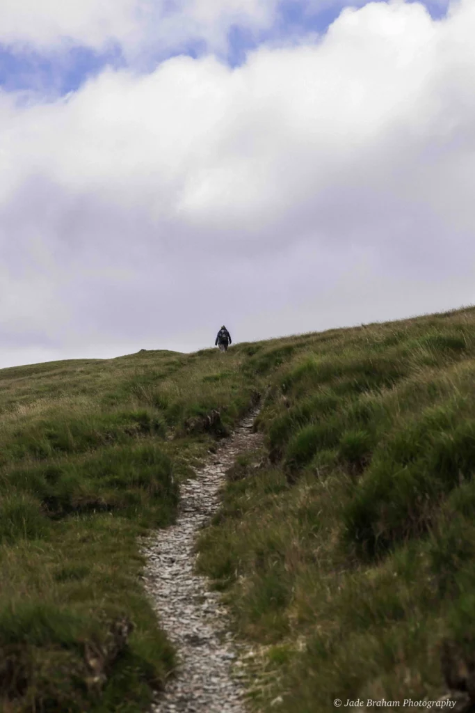
The Golden Road Walk in The Preseli Hills
Starting Point: Bwlch Gwynt
From the Bwlch Gwynt car park, head East. Behind you lies Foel Eryr, a mountain-top burial cairn with a large hut and drystone enclosure. These may reflect relict field boundaries or a slipway for a nearby quarry. It’s known as the “Place of the Eagle” because the majestic bird once soared above the mound, but today, only buzzards and red kits can be seen. Burial cairns usually had the deceased interred in the ground, with the cairn constructed over the top. Such landmarks suggest that high-status individuals were laid to rest along The Golden Road walk and that these burial rites were important to Bronze Age tribes.
Broadcaster and writer Wynford Vaughan-Thomas once said of The Golden Road, “Everywhere you feel the presence of the megalithic tomb-builders, of the Iron Age warriors who piled the stones for the great hillforts and of kindly and absent-minded old Celtic saints”. The Golden Road has a unique atmosphere, but what I feel most is the presence of ordinary folk who wanted to honour and immortalise a person who had maybe cared, protected, fought and lived for them.
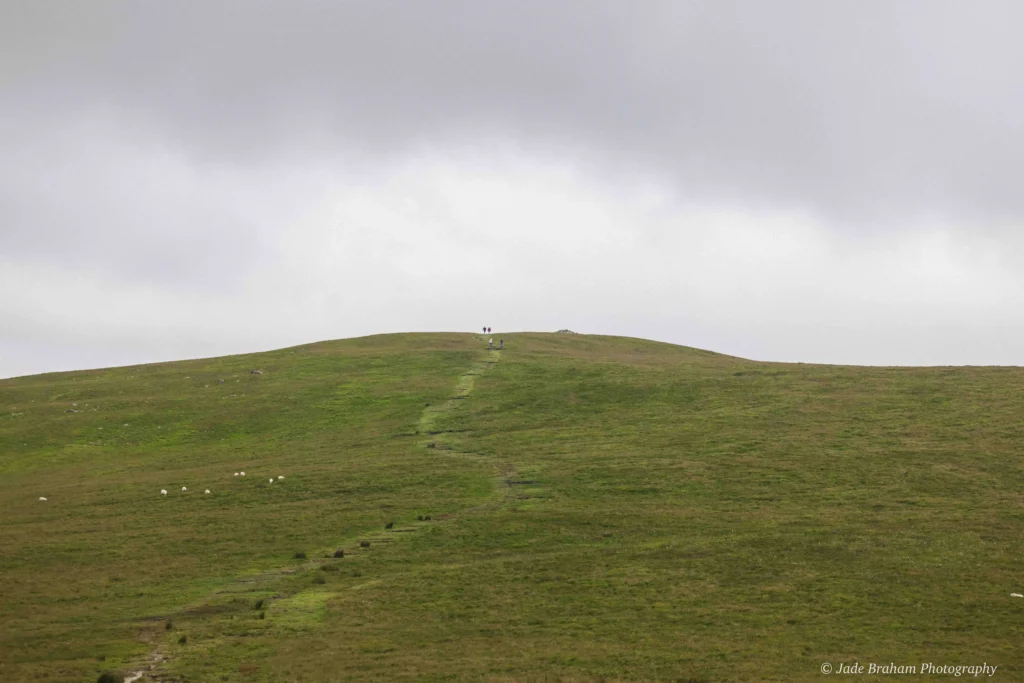
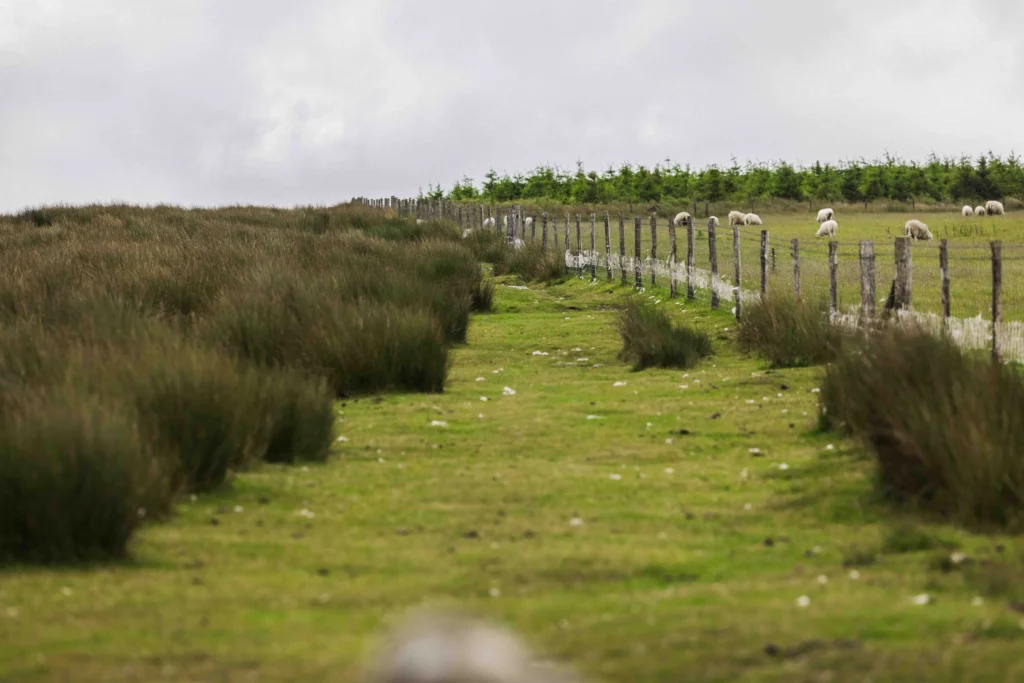
Stop Two: Boggy Terrain & Pantmeanog Forest
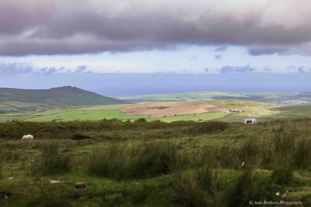
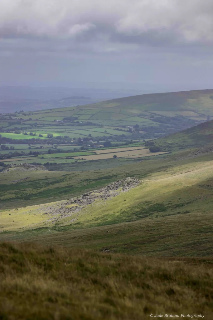
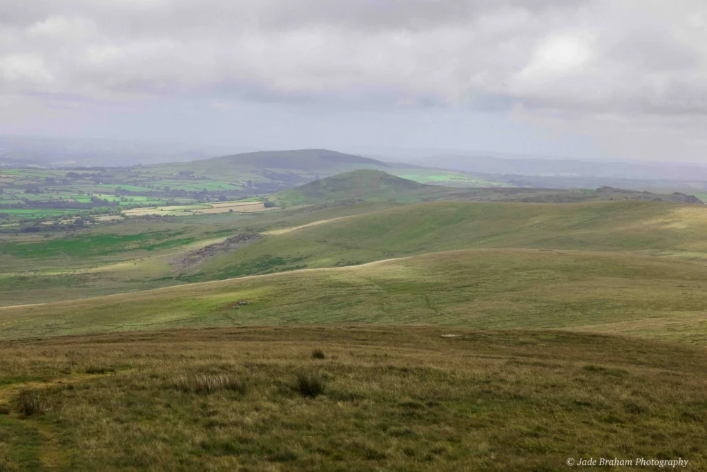
The next section of The Golden Road walk in the Preseli Hills is very wet and boggy. I sunk inches into boggy ground, knees dropping to the low height of mountainous reeds. This placed me within earshot of the siren-like call of grassland birds, hiding from plain sight but making their discomfort of my presence well-known. You’ll see sweeping hills largely untouched by modernisation, and their undulating contours continue to boast hazardous terrain of loose rocks, crumbling earth and prickly trees.
Top tip: To avoid this wet terrain, follow the fence to the right. Just as the path gently ascents, you’ll pass a gate and marker.
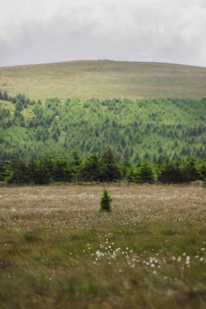
You’ll also see Pantmeanog Forest, a place shrouded in mythical legends with claims on The Mabinogion. As the story goes, King Arthur and his knights fought a ferocious battle against a boar caller, Twrch Trwyth, under the shadows of Foel Cwmcerwyn – the highest point in the Preseli Hills.
Stop Three: Foel Feddau
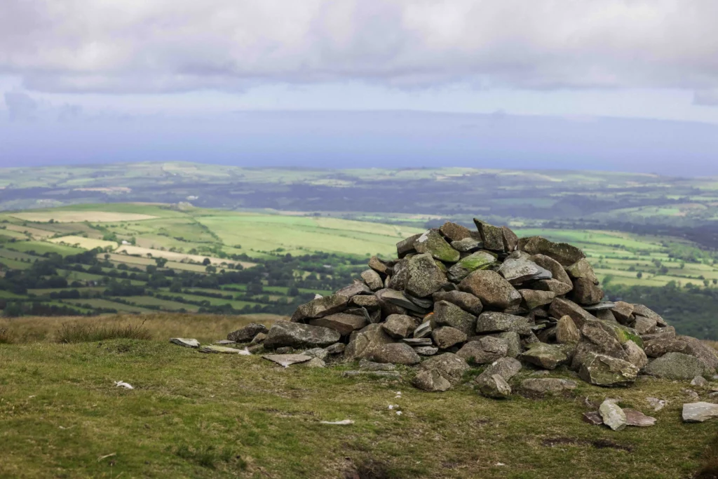
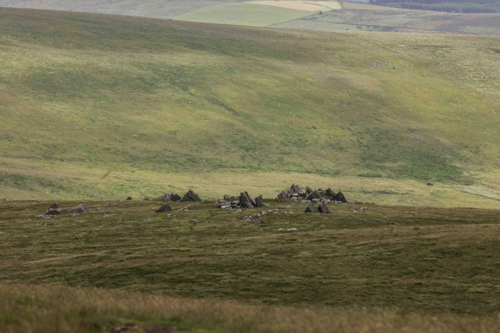
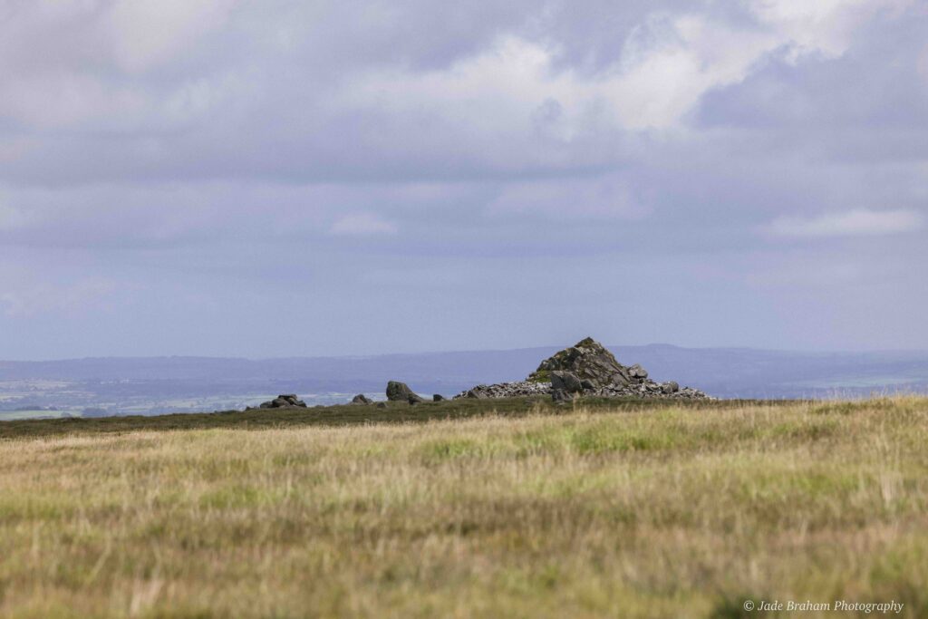
You’ll follow The Golden Road walk uphill. This is one of the more challenging sections, but the route levels out when you reach the top. When you’re halfway up to the top, about a mile into the walk, the fence takes a 90-degree turn to the right. Do not follow the fence. Continue eastward along The Golden Road path. You’ll eventually reach Foel Feddau, a Bronze Age burial cairn resting silently amongst the expansive rural landscape. Not much is known about this ancient structure, but it’s part of a much larger tradition of building cairns in Pembrokeshire. At this point, you’ll have walked around 2.4 miles.
Stop Four: Cerrigmarchogion
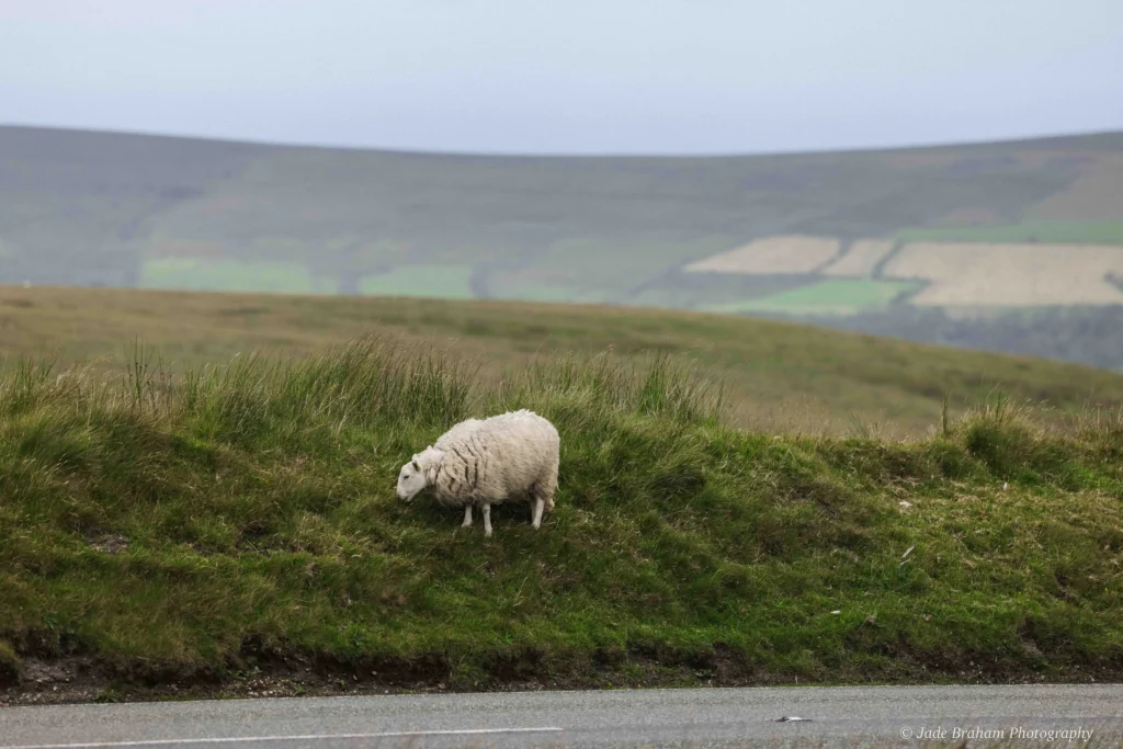
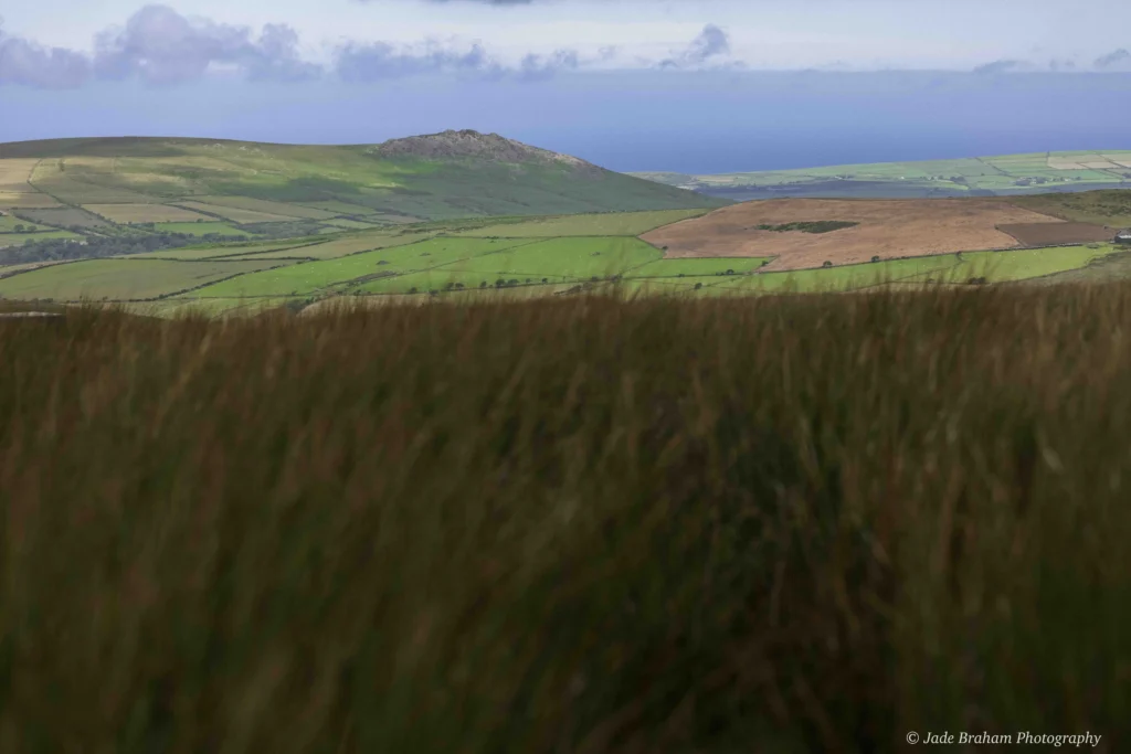
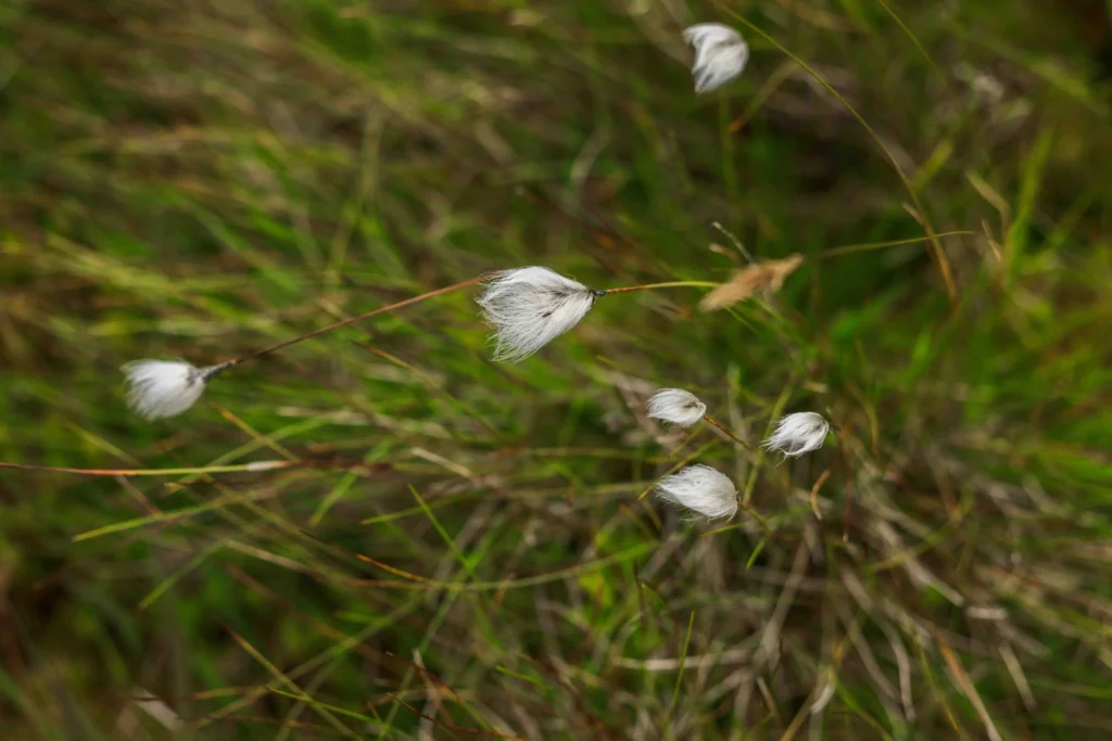
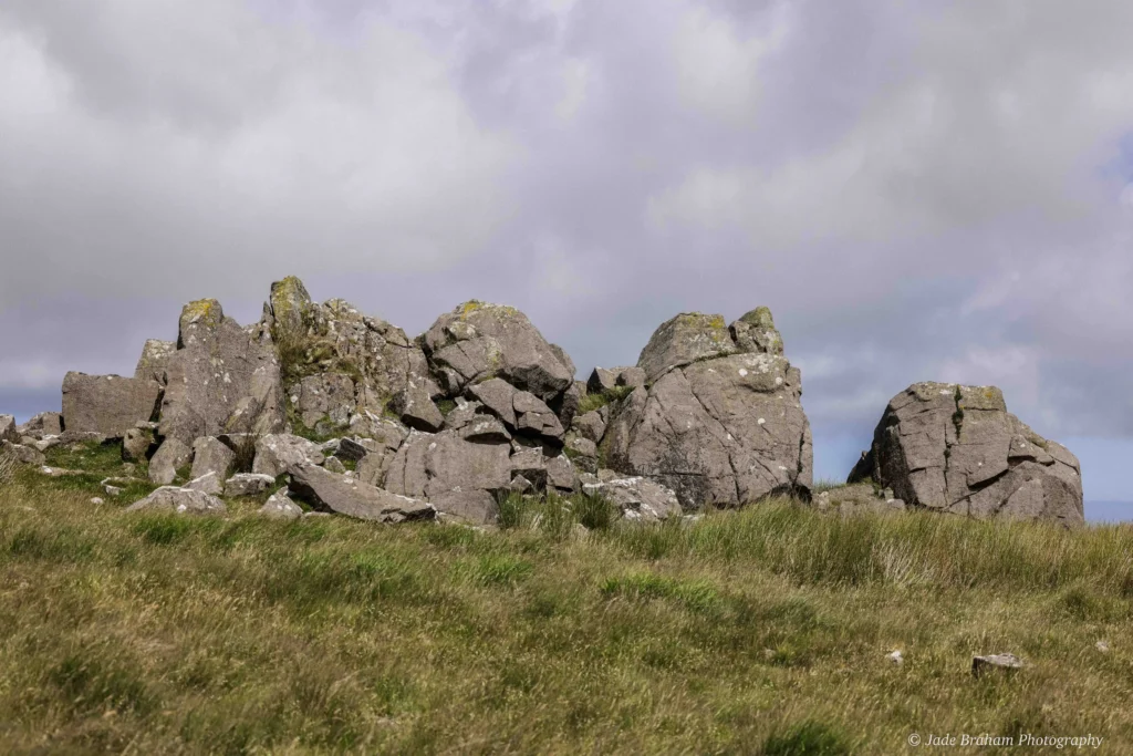
From the summit of Foel Feddau, you’ll see a line of rocky outcrops at Cerrigmarchogion, and the enormous stones are believed to be the petrified remains of Arthur’s knights who fell in battle. Descend the mountain to reach these rocks, walking along a flat plateau with a meandering path defined by the slender-stemmed Cotton Grass. These are crowned with white tufts resembling the sheep grazing the land. Their feathery clusters sway gracefully in the breeze, transforming the landscape into a dreamy mosaic of snowy dots against the verdant green and muddy brown backdrop.
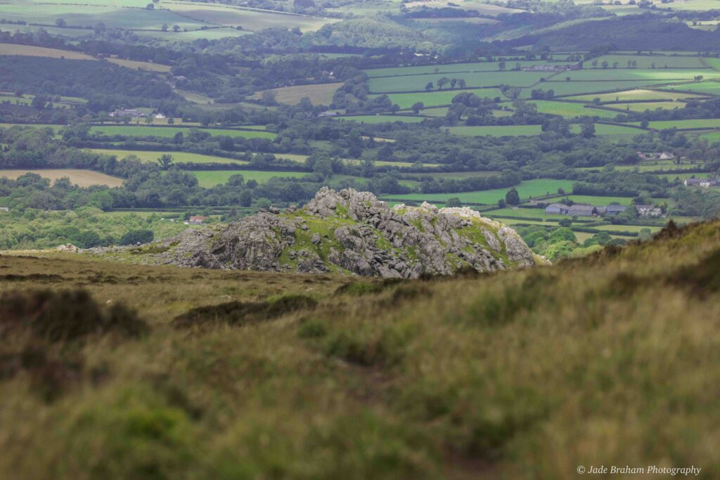
A short detour brings you to the dolerites, nothing short of magnificent. You don’t need a vivid imagination to picture these stones as fossilised knights; some are tall, others large and stocky, while most are broken in two. Does anyone else think this describes various body types and slain warriors? The immense size of these “grave” stones will leave you with little doubt that those who claim this was one of the sources for Stonehenge’s bluestones are correct.
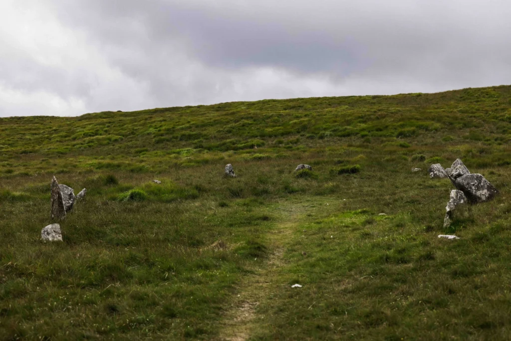
Stop Five: Carn Bica & Bedd Arthur
From here, continue east, climbing once again to reach the sharp-edged tor of Carn Bica. At this point, you’ll have walked around four miles. As far as the eye can see, rocky outcrops litter the landscape, but the eye-shaped ring of stones below will catch your attention. This stone arrangement is known as Bedd Arthur, translating to “the grave of Arthur”. As you’ve probably guessed, it is meant to be the King’s final resting place. Whether royalty was buried here or not, tranquillity and stillness washed over this section of the route, suggesting to my overactive brain that someone important still haunts, maybe even protects, this graveyard.
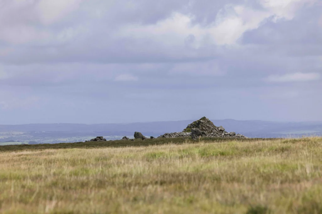
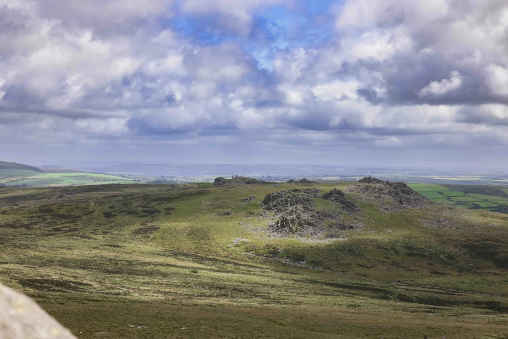
Stop Six: Carn Menyn
In the background is the jagged form of Carn Menyn, cited as another potential quarry for the bluestone located in the inner circle at Stonehenge. After years of erosion, these stones are scattered to the four winds, but despite their isolation, the atmosphere around them pulsates with mysteries of bygone days. When you reach this site, you’ll have hiked five miles, and it’s here where researchers discovered ‘singing stones’ that chime when struck. Maybe they are magical, which would explain why our ancestors used them at Stonehenge. Perhaps they believed these bluestones could carry the deceased to the next realm or at least accompany them with a ritual musical.
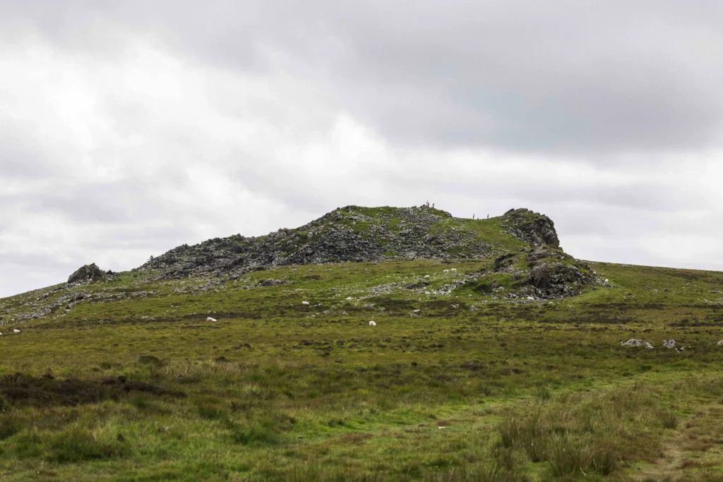
Stop Seven: Foel Drygarn
Another hour will bring you to Foel Drygarn, the site of an early Iron Age fortress dating to 350 BCE. It’s the perfect spot to end your walk as it boasts double ramparts, ditches, three Bronze Age burial cairns, and, at one point, Iron Age and Roman pottery, sling stones and glass beads. Historians claim this was once an important centre, where at least 227 hut platforms occupied the fort. These remains represent a long period of occupation and highlight how the Iron Age settlers respected their Bronze Age predecessors, as the cairns weren’t plundered.
These gigantic memorials are ever-present reminders of our forebearers, showing us their relationship with the landscape and the changing times. In some ways, we’re no different. We still honour and respect these monuments as if deities created them. As I left, I saw a family explaining the fort to their youngsters, making me think The Golden Road walk will remain a much-loved site and a significant tale in our collective heritage for a long time to come.
The Golden Road Walk In a Nutshell
-
-
-
-
-
-
-
-
-
-
-
-
-
-
-
- Distance: Approximately 7 miles
- Ascent: About 800 feet
- Walking Time: Roughly 4-6 hours
-
-
-
-
-
-
-
-
-
-
-
-
-
-
Final Thoughts on The Golden Road Walk
Walking the Golden Road in the Preseli Hills is a relatively easy endeavour. You don’t need to be a seasoned hiker; grab a sensible pair of walking boots and a compass (you can download the app). The Preseli Hills Golden Road is not waymarked, so keep heading east and pay attention to the path. Despite this, the hike is well worth it as it’s surreal walking a route hundreds of people did thousands of years ago.
Like it? Pin it for Later!